Hybrid Analysis Engine: Combines EXIF data extraction with powerful AI visual analysis, ensuring the highest chance of success to find a location from a picture.
Transparent AI Process: A unique 'AI Reasoning' panel shows how the system identifies a location, building unparalleled trust and insight.
Interactive Map Results: Don't just get coordinates. Explore the location on a dynamic map with zoom, satellite view, and more.
Privacy First: Your uploads are confidential. Images are processed securely and never shared or stored without your consent.
Analysis History: Keep track of all searches. Easily revisit past results from a personal and private analysis history dashboard.
Blazing-Fast & Responsive: Built on modern technology, the photo location finder delivers results in seconds on any device, desktop or mobile.
How It Works
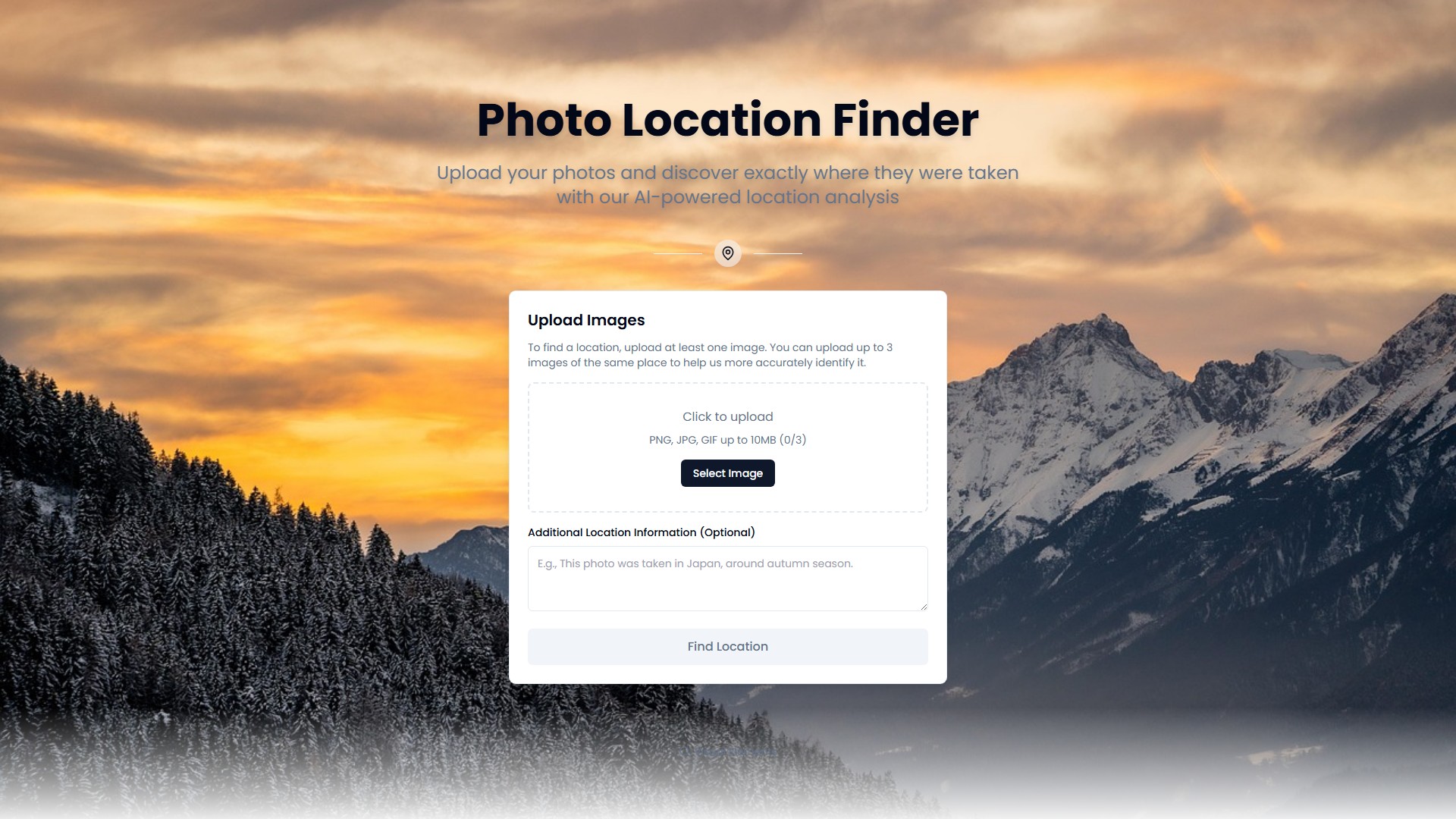
Upload Your Image: Simply drag and drop a photo or click to select a file. The platform is secure and privacy-focused.
Initiate AI Analysis: With one click, the photo location finder starts its work. It first checks for EXIF GPS data and then deploys AI to scan for visual clues.
See the AI's Reasoning: The unique interface shows exactly how the AI is thinking—from identifying a landmark to analyzing architectural styles.
Get Your Precise Location: View the pinpointed location on an interactive map, complete with coordinates. All past searches are saved in history for easy access.
Target Users
Professional Investigators: Professionals who demand precision and reliability.
Journalists: For verifying image sources to ensure the authenticity of news reports.
Travel Bloggers: To retrace steps and add geotags to their portfolios.
Curious Travelers: Users curious about where a photo was taken.
Casual Users: People trying to identify the location of old family photos.
Core Advantages
Superior Accuracy: The dual EXIF and AI engine provides more reliable results than simple metadata viewers or basic AI tools.
Unmatched Transparency: Shows how the conclusion was reached, a feature not found in most other location-finder-by-picture services.
Built for Professionals: While simple enough for anyone, the tool is powerful enough for journalists, investigators, and photographers.
Intuitive User Experience: No complex software to install. The clean, web-based interface makes finding a photo's location fast and effortless.
Commitment to Trust: From the transparent AI process to the strict privacy policy, every aspect is designed to earn and keep trust.
Frequently Asked Questions
How to find the location of a photo?
Can you find a location if the photo has no GPS data?
How accurate is this picture location finder?
Is my uploaded photo kept private and secure?
What kind of photos work best with the photo location finder?
Can I use this tool for professional work, like journalism or investigation?
Is there a limit to how many photos I can check?
What is EXIF data?
Can this tool identify the location of old, scanned photos?