FlyPix AI

Share

Main Features

  • Automatically detect, monitor, and inspect geospatial images using AI agents
  • Train custom AI models without programming knowledge or deep AI expertise
  • Support user-defined annotations to detect any visible objects in images
  • Provide Analytics dashboard and AI model prediction/detection capabilities

Target Users

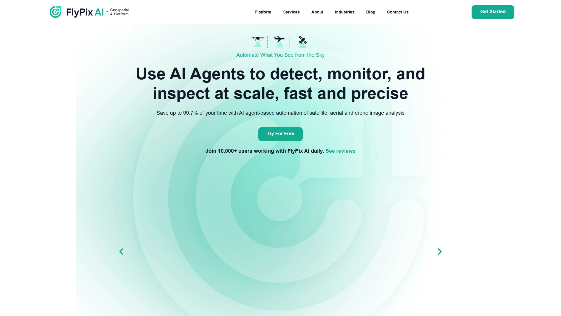
Users from various industries including government institutions, construction, renewable energy, agriculture & farming, risk management, oil & gas, forestry & ecotechnology, port operations, mining, and smart cities

Core Advantages

  • Save 99.7% of time (from hundreds of seconds for manual annotation to 3 seconds for AI annotation)
  • No programming or deep AI knowledge required
  • Suitable for analyzing complex and dense scenes
  • Quickly identify and outline numerous objects in geospatial images

Pricing Information

  • Basic (Free): 3GB storage, 10 credits, limited support
  • Starter (€50/month): 10GB storage, 50 credits/month, process 1 gigapixel
  • Standard (€500/month): 120GB storage, 500+100 credits/month, process 12 gigapixels
  • Professional (€2000/month): 600GB storage, 2000+1000 credits/month, process 60 gigapixels, includes API access and expert support

Typical Use Cases

  • Construction automation
  • Port operations monitoring
  • Agricultural monitoring
  • Infrastructure maintenance
  • Environmental protection and forestry management
  • Land use classification
  • Government institution applications

Supported Data Types

  • Multispectral data
  • Satellite images
  • Aerial images
  • Drone images

  • Visits : <5K
  • Collection Time:2025-09-16
  • Pricing Mode: Freemium Paid

#Productivity #Research Freemium Paid Website App

Comment

Login After logging in, you can make comments

Explore Similar AI Tools

Dictanote

Visits 200.95K Pricing Mode FreeFreemiumPaid

Zipscore AI

Visits 28.41K Pricing Mode Freemium

Rent a Mac

Visits 0 Pricing Mode Free TrialPaid